 |
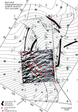
| Geophysics plot dropped onto rectified map and aligned to Magnetic North. Red lines show how cropmarks have been revealed by the geophysics and continue into the part of the area which was unresponsive to aerial photography. |
|
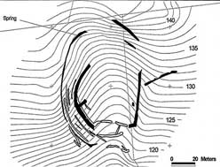 |
| Air photo (solid fill) overlain with interpolation of geophysics (empty fill). Contours at 1m intervals. |
|
